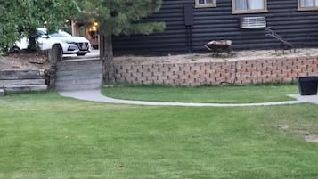
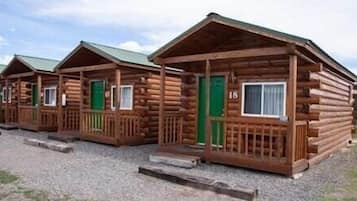
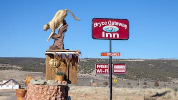
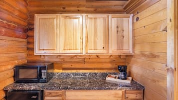
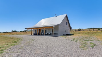
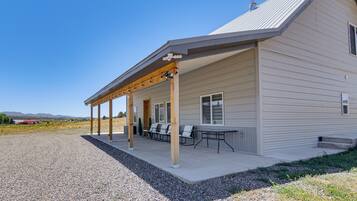
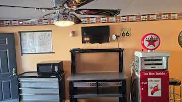
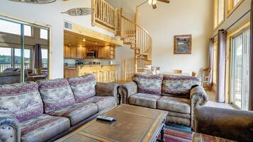
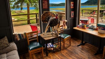
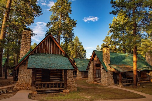
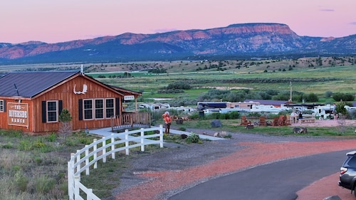
Dingen te doen in Alton
Alton, Utah, biedt een heerlijke ontsnapping voor buitenliefhebbers, met spannende avonturen en een adembenemend landschap. Bezoekers kunnen genieten van activiteiten zoals skiën op lokale skigebieden, het verkennen van recreatiegebieden en het maken van sightseeingtrips. Met lokale attracties zoals golfresorts en verschillende kampeermogelijkheden is Alton perfect voor diegenen die zowel ontspanning als avontuur zoeken in een pittoreske omgeving.
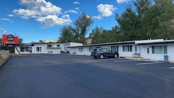
Winkelen
De dichtstbijzijnde winkelervaring is op de lokale markten, waar u unieke ambachten en souvenirs kunt vinden. Als u zin heeft in een ritje, bezoek dan het Cedar City Town Center, ongeveer 48,3 km verderop, met een verscheidenheid aan winkels, waaronder modewinkels en cadeauwinkels.
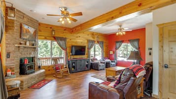
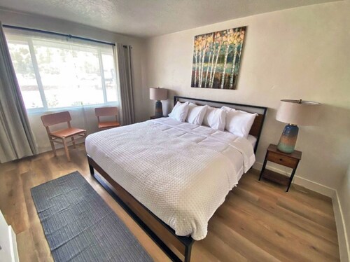
Recreatie
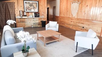
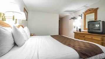
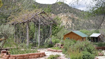
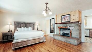
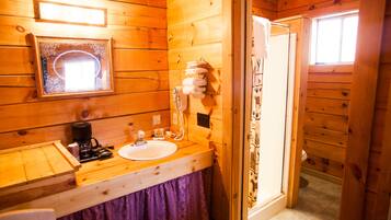
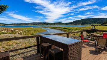
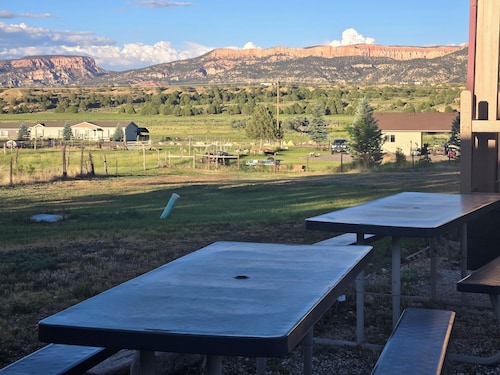
Alton Wellness Retreat biedt een rustige omgeving en holistische therapieën, perfect voor ontspanning en verjonging. Geniet van yogasessies, meditatie en spabehandelingen te midden van een prachtig natuurlandschap. Voor buitenplezier kunt u de nabijgelegen wandelpaden, visplekjes en adembenemende uitzichten verkennen, wat zorgt voor een bevredigende mix van welzijn en avontuur.
Avontuur
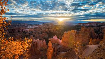
Verken de adembenemende landschappen van Zion National Park, waar wandelpaden zoals Angels Landing adembenemende uitzichten en spannende hoogtes bieden. Voor een unieke ervaring kunt u canyoning proberen in de slotcanyons, navigerend door smalle doorgangen en levendige rotsformaties die u versteld zullen doen staan.
Nachtleven
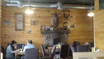
In Alton biedt de lokale pubscene een charmante sfeer met livemuziek en vriendelijk geklets. De nabijgelegen steden bieden schilderachtige bars en restaurants, perfect voor een ontspannen avond. Mis de occasionele buitenactiviteiten niet die lokaal talent onder de sterrenhemel tentoonstellen.
*Afstanden worden in een rechte lijn gemeten; de werkelijke rijafstanden kunnen variëren afhankelijk van de route.