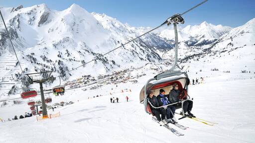
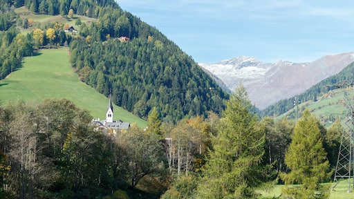
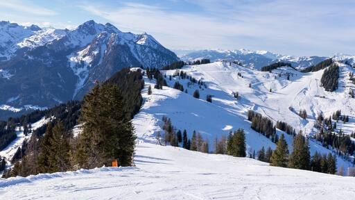
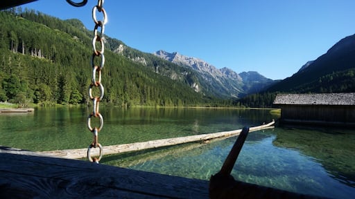
Topactiviteiten in Tamsweg

Activiteiten, bezienswaardigheden en rondleidingen
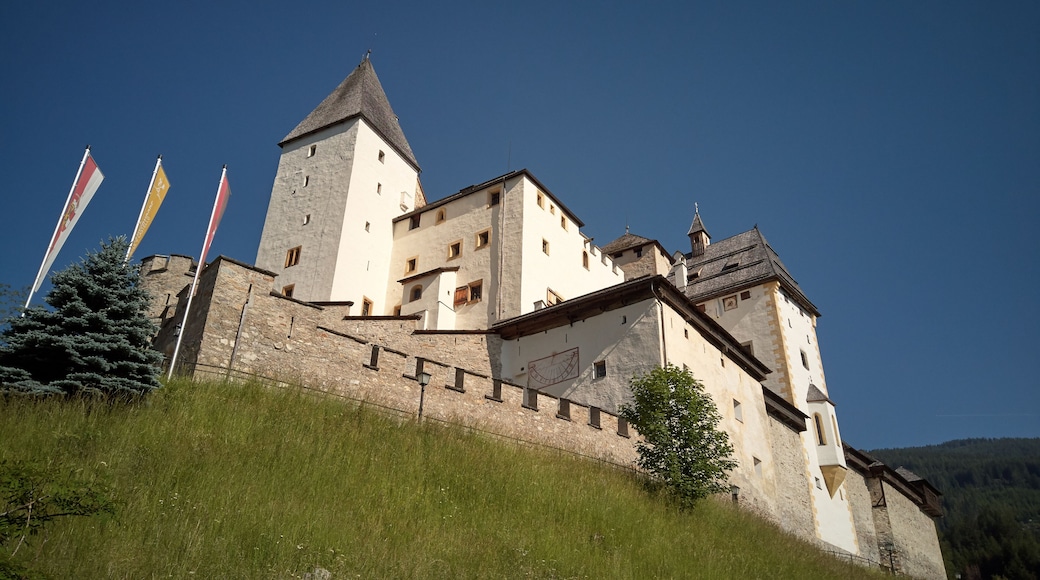
August 2011
Hochgolling is with 2.862 metres the highest summit of Schladminger Tauern and sits on border of Salzburg and Steiermark regions of Austria. This is the view from Trockenbrotscharte pass (alt. ca. 2.400 m). You can traverse over the cliff on the left and some 100 m up to Gollingscharte pass to either ascend the summit (1 hour up and 1 down) or continue the path to Gollinghuette hut descending to 1.600 m. Hochgolling rises more than 1.000 metres over its surrounding valleys. The south side of the mountain is in the photo.
Obertauern bevat een gondel, sneeuw en skiën
Tamsweg
Tamsweg

  • find price illustration

    Bekijk activiteiten

    Ontdek duizenden ervaringen, van activiteiten en bezienswaardigheden tot daguitstappen en transfers.
  • calendar shield illustration

    Boek met gemak

    Vergeet de wachtrijen. Boek in enkele minuten online kaartjes voor leuke bezienswaardigheden met gratis annulering voor veel activiteiten.
  • trophy illustration

    Trakteer jezelf

    Leden besparen % of meer bij het boeken van activiteiten.


Steden in de buurt van Tamsweg